The Clérac’s district is covered by 3200 ha of forest, representing almost 75 % of the territory.
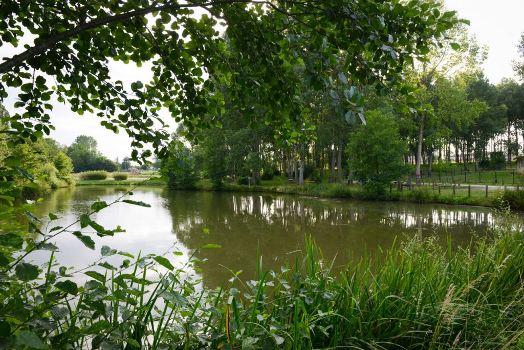
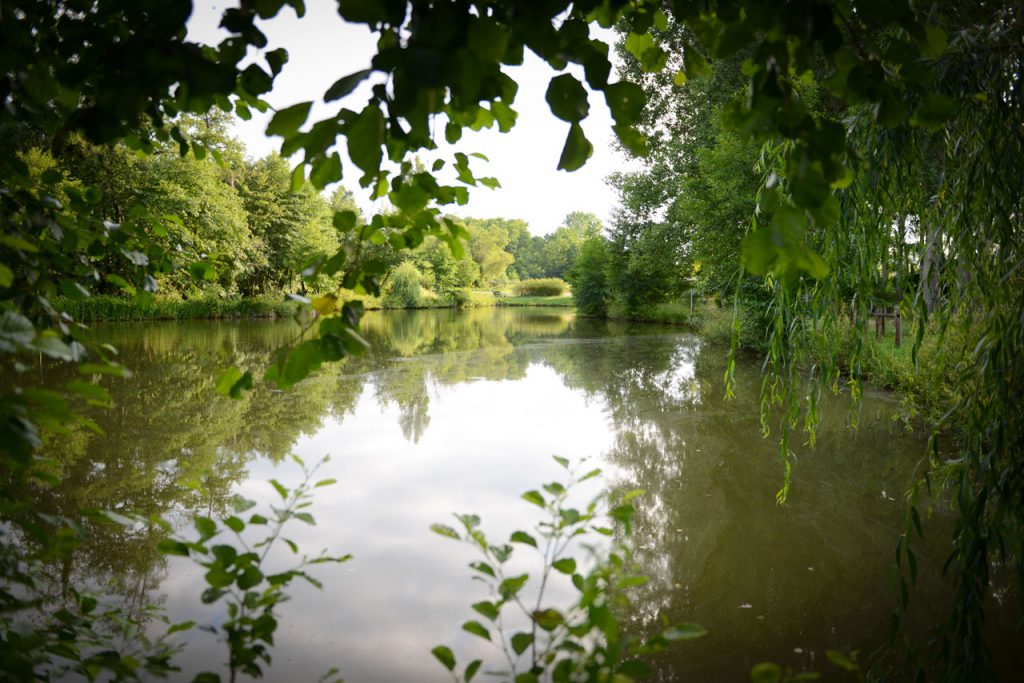
The exploitation of clay has tattooed the landscape, as for example the formation of the blue lakes. The white clay faces reflect the sky and gives to the water this characteristic colour, which depends on depth, weather and vegetation.
The “Moon Walk” :
This walk was created in 2007, around a pond. A horse shelter and room for campers, with water and electricity, was installed.
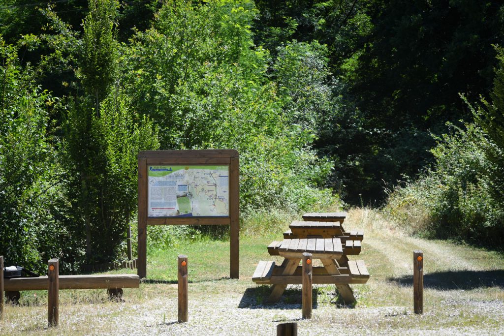
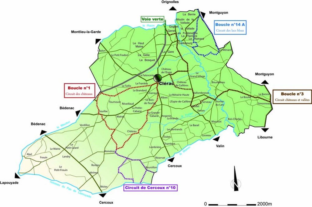
The “Green Way” : 35 km (walker, rider, roller, horse) :
Built by the “Communauté de communes de Haute Saintonge”, this way resumes the old railway’s substructures from Châteauneuf (16) to Saint-Mariens (33), stopped in 1989. For the moment, two sections are transformed. The first links Clérac to Chantillac on 15 km, and the second, inaugurated in 2006, links Chantillac to Barbezieux on 20 km called “Galope Chopine”. At the end, the green way joins Angoulême.
Perfect for a family walk with a small incline, this “Green Way” is protected from the sun thanks to the vegetable cover.
Lap n°1 : « Castles tour » (9,5 km)
This route takes completely place on Clérac’s territory. The tour starts in front of the Mairie and follows the way to Cercoux.
Lap n°3 : « Castles and valleys » (17 km)
This walk links Clerac to Montguyon and takes a part of the green way between Orignolles and Clerac.
Tour n°8 (4km), n°9 (9,5 km) et n°10(13 km)
These tours join Clérac to Cercoux and are located in the South of Clérac’s district.
Lap n°14 A : « Blue lakes tour »(10 km)
This route starts to Montguyon, but the biggest part of this tour is located in the North-East on the Clérac’s district.
